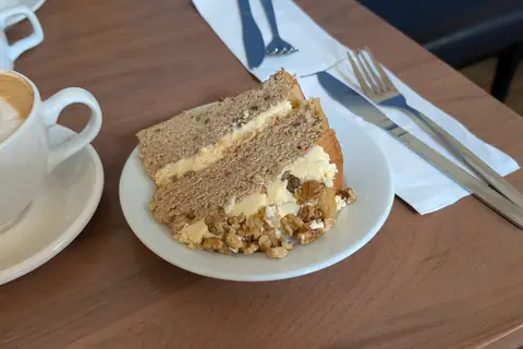
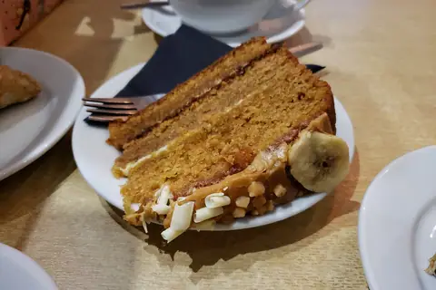
Artisan Bakery · Southwark, London
How to get to GAIL's
GAIL's is at C, NEO Bankside, 70 Holland Street, London SE1 9NX, about 1.2 mi east of central London. Tap the map to start navigation on your phone.
Address
GAIL'sC, NEO Bankside, 70 Holland Street
London
SE1 9NX
GPS: 51.50677, -0.10061
Open in your maps app
Closed · opens 8am todayBy public transport
| Station | Type | Distance | Walk |
|---|---|---|---|
| Southwark | Underground | 0.3 mi | 7 min |
| London Blackfriars | Rail | 0.3 mi | 7 min |
| Blackfriars | Underground | 0.4 mi | 9 min |
Straight-line distances; walking times assume about 5 km/h on a typical street route.
Distance from nearby towns
| From | Distance | By car* |
|---|---|---|
| London (centre) | 1.2 mi | ~4 min |
| Chigwell | 11 mi | ~36 min |
| Loughton | 12 mi | ~38 min |
| Ewell | 13 mi | ~41 min |
| Waltham Cross | 13 mi | ~41 min |
| Borehamwood | 13 mi | ~42 min |
*Rough estimate at an average 40 km/h including town traffic.